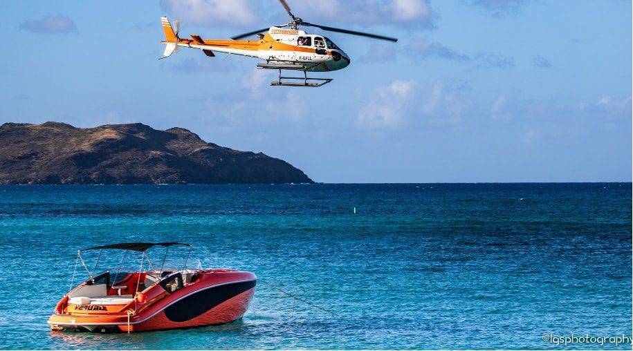
Not much more than 60 years ago, Saint Barth was a quiet little island with hardly a car or plane. All imported merchandise came in by boat, along with the mail. As the population grew, the size of the main town grew as well, and with the implementation of modern techniques, the port developed into the island’s active Port of Gustavia.
In The Old Days
The harbor of Gustavia was always formed in the shape of a U. In the early days of the 20th century, a schooner, the “Marie Stella,” ensured mail service and made a weekly trip between Guadeloupe, Saint Barthélemy, and Saint Martin, then back to Guadeloupe. The town did not yet have electricity, but oil lamps were lit as daylight faded. At precisely 8pm, the Swedish clock tower rang to announce the time to return home. Families had their own little docks along the port, as well as a rowboat, which was used to go back and forth from the larger vessels to the shore, carrying merchandise that was then stocked in a family warehouse next to the dock. The Beal family dock, for example, was located near the old sailing school at the far end of the dock, not far from the Anglican Church. From the rowboats, certain sacks of goods were loaded onto the shore then carried to outlying neighborhoods on the backs of men or a donkey. The roads, made of gravel or dirt, were rare at the time. Only one road led from Gustavia to Lorient, then Lorient to Saline. It wasn’t until 1939 that the first car appeared on the island, brought by boat from Martinique. For its owner, a resident of Gustavia, the drive to Lorient took one hour. To reach the windward side of the island, one had to walk along paths, or for the lucky ones, go by horseback or on a donkey. Animals were purchased on neighboring such as St Kitts, St Martin, or Tortola, and brought back by boat.
Only sloops, small single-hull sailboats with shallow draft, could pull up to the small stone dock located where dQuai du Général de Gaulle is found today. Other boats, of larger tonnage, were obliged to anchor at the mouth of the harbor, as the port was too shallow for them. To enter the port at night, the sloops used two small lights as indications as the lighthouse did not yet exist. Where the port office is now located, there were two lanterns that served as signals that allowed the boats to enter the port. Every evening, Mr. Cagan, the person in charge of these lanterns, was sure to light them. At dawn, he returned to extinguish these signals that were of utmost important to sailors. It wasn’t until 1950 that the residents of Saint Barth requested the deputy for the region, Mr. Valentino, to do what it would take to have a lighthouse built at the entry to the port.
Transforming The Port
The lack of depth to the port made it impossible for large ships to come to the dock. It was Rémy de Haenen, former mayor of Saint Barthélemy (see article about Gustave III Airport) who had the idea to dredge the harbor after hurricane “Dog” in 1950. The sand removed from the harbor was placed on a nearby shoreline to create a beach where there were only rocks.
In the beginning of the 1980s, faced with growing tourism and an important increase in shipping traffic as well as sailboats and motor yachts, local politicians decided it was time to build a commercial port. Container ships and oil tankers could now unload their cargo in Public, while the docks and moorings in Gustavia were reserved for pleasure boats. And the town itself began to develop quickly. The building of businesses and homes multiplied at a rapid rate, the Swedish ruins were restored, and Gustavia became a proper portside town in just a few years, with its new town hall, its tourist office, its port offices, its museum, and elegant shops and restaurants.
The Anchor At The “Place du Centenaire”
In the early 1980s, the captain of a ship remarked to the harbor pilot that would guide his boat into the Port of Gustavia that a weight had been pulling on his cable since the boat left Saint Thomas. Arriving in front of Corossol, the object got stuck on the bottom of the sea and the cable gave way. At the time, harbor pilot Romon Beal made a mental note to remember where this object had disengaged itself under the water. After unloading its cargo, the ship sailed toward other islands without further incident. But Beal did not forget the misadventure and wanted to know what kind of object had weighed down this vessel. Remembering the points of reference to locate the spot, he dove 18 meters under the sea, and to his great surprise he found a gigantesque anchor. After much difficulty in bringing it to the surface, Beal decided to donate the anchor to the municipality. To this day, the anchor remains at the “Place du Centenaire,” in front of the Anglican Church in Gustavia. The origin of this anchor, which weighs close to 15 tons, is still visible. As you approach it, you can see the words “Liverpool, wood, London” on the side. Historians think that it belonged to an English ship that carried goods from island to island in the 19th century.
For additional practical information about the Port of Gustavia: www.portdegustavia.fr